Greece, The Route We Took
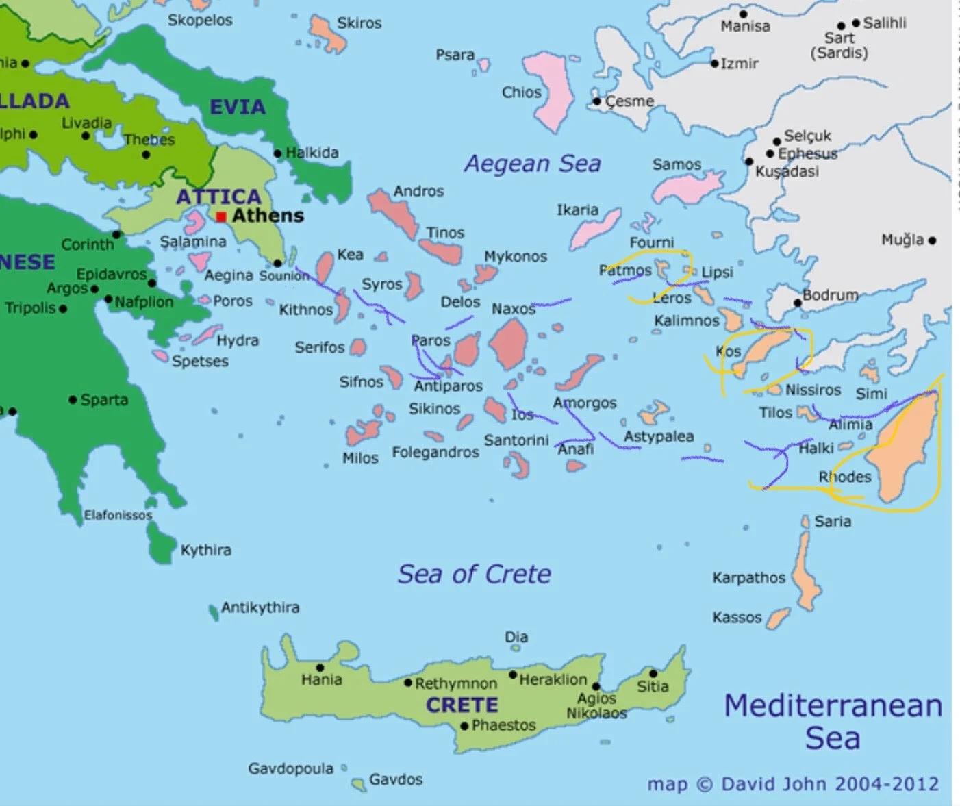
A friend said she didn’t know much about the geography of Greece, so I thought it might be helpful for her and others unfamiliar with Greece’s geography to share a map. I highlighted the route we took. Once you find Athens in the upper left quadrant of the map, you’ll see a light purple dotted line down and right to the island of Rhodes. The dotted purple line shows our route: Piraeus to Rhodes, Rhodes to Kos, Kos to Patmos, and Patmos back to Piraeus.
The Blue Star Ferry departed around 6:00PM the day we arrived (June 26) from Piraeus, which is the port of Athens, and arrived in Rhodes at 10:00AM the next morning.
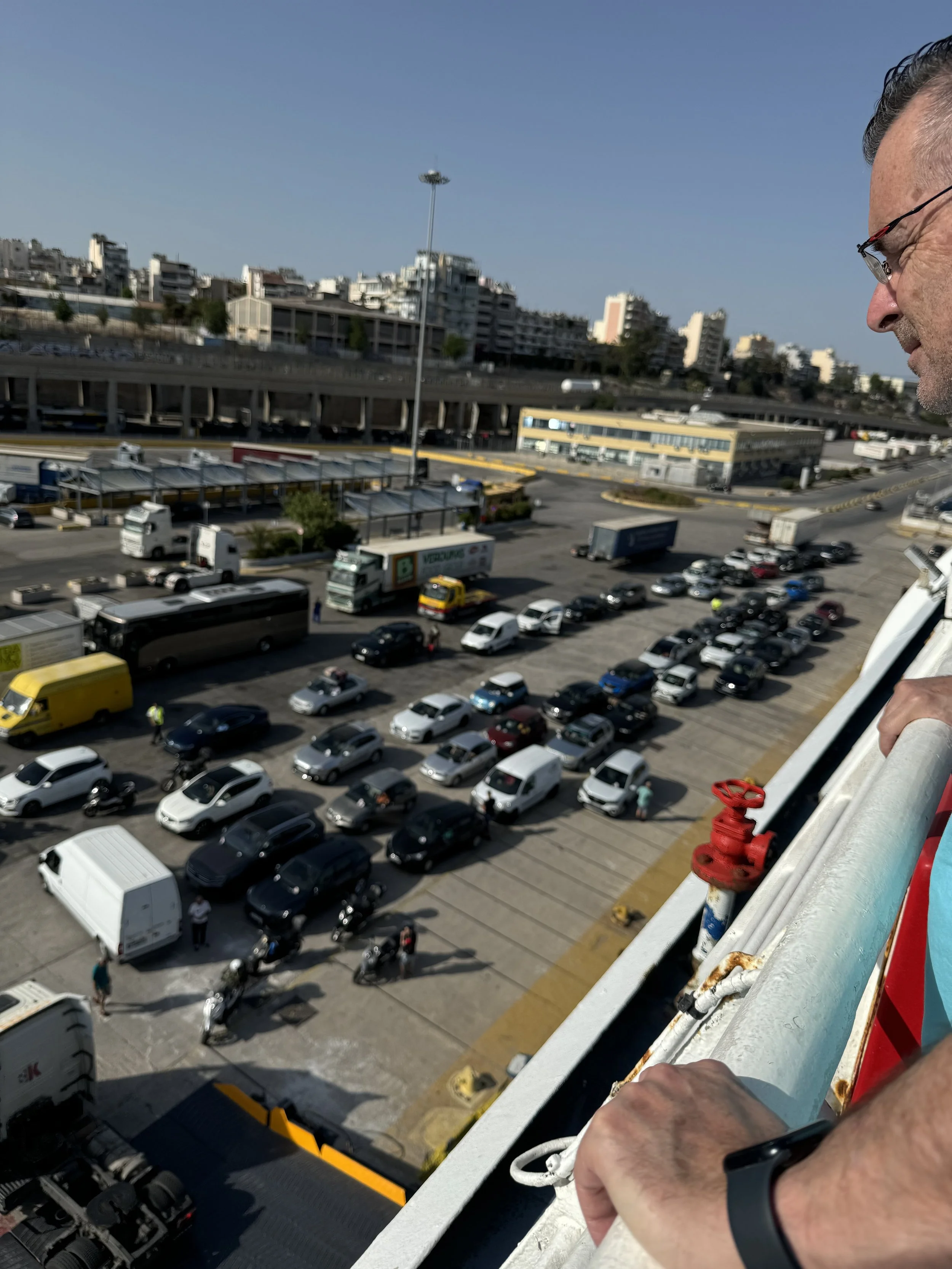
I think travelers can purchase tickets to a Greek island for just 20Euros, which meant the ship was super crowded, making it challenging to find a place to sit. We paid more to get a private cabin with beds where we could sleep. And thankfully, that qualified us to sit in a special dining area.
If this is the first post you’ve read, know that most of the ones that follow are thematic rather than chronological, so it shouldn’t matter which order you read them. But if you’re scrolling, once you get to Kos, they’re chronological, and you’ll be reading the most recent ones first. If you want to start at the beginning of our trip, the first post is Happy 35th Anniversary. You can start there and scroll up instead of scrolling down.
Sorry for the confusion!! I posted most everything after our trip.
Our WiFi in Greece was very slow, so when I tried posting in Patmos, I found that to upload one photo might take an hour, compared to when we got home and I could usually upload one in seconds.
The internet pace is a pretty good analogy to life in Patmos though. 🐌🐢 My dad says that Papouli always said minutes and hours pass by slowly, but years pass in a blink.